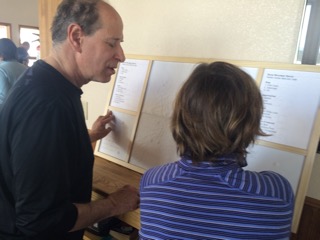
I was asked by Colorado Ski for Light http://cosfl.org to make a map of Snow Mountain Ranch, Nordic Center ski trails. Sounds easy enough. Once I had the map in hand, I realized this place is a rabbit warren of twisting trails crisscrossing through miles of terrain. I know making a map is a whole different kettle of fish from tactile art making but I felt up to the challenge.
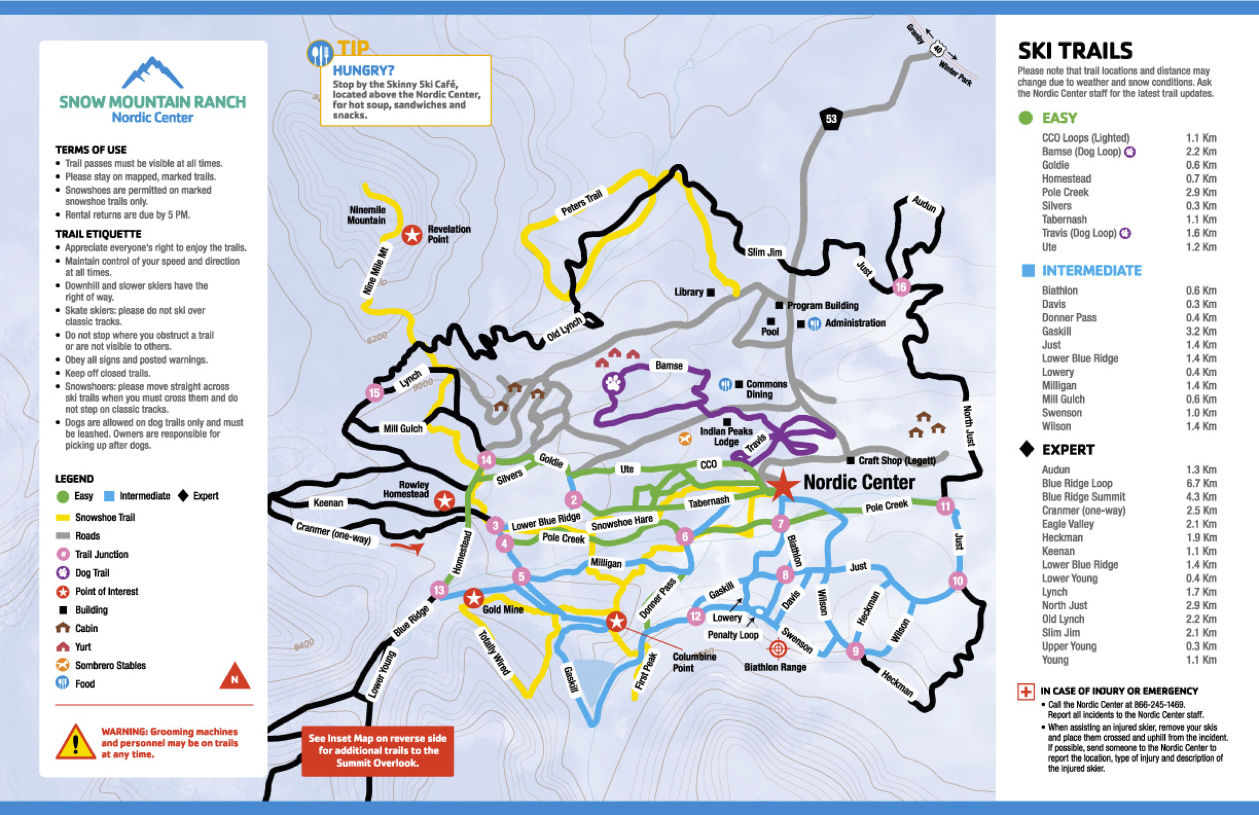
First, I needed to decide how many different trails people need to distinguish, one from the other. Clearly folks need to know which trails are easy, intermediate and expert. Since the snowshoe trails and dog trails intersect the ski trails that would also be helpful to distinguish. Of course people need to know where the roads are too.
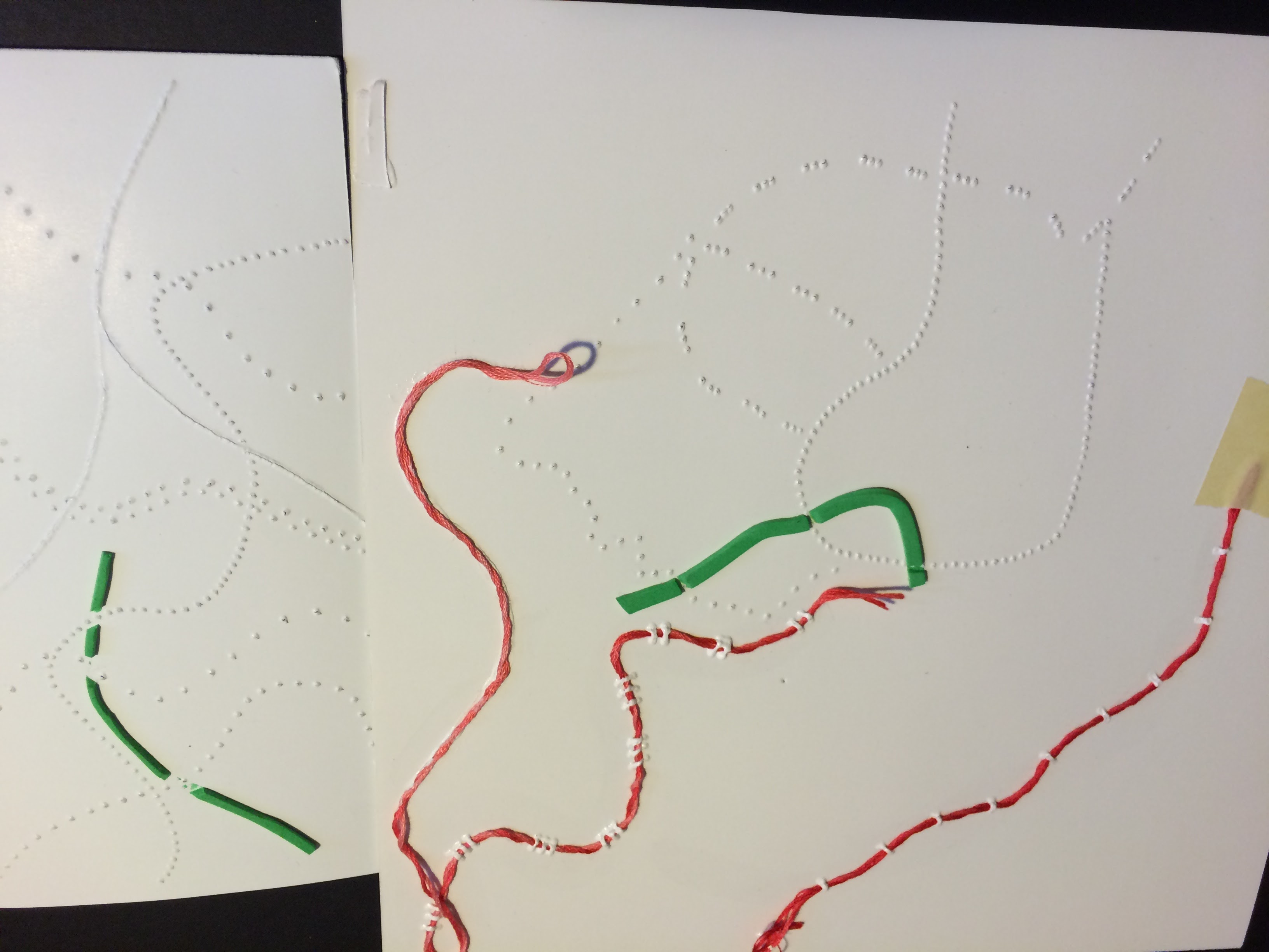
Once I knew I needed to create six distinct textures for the different paths, I decided to accomplish this by cutting all the maps out of poster-board. These trails would then be placed as an overlay on the low relief map indicating terrain contours.
I decided to use the smooth texture for the road. After a lot of trial and error, I decided to glue an embroidery thread to the middle of the dog trails. I then assigned a fabric strip with a distinct texture to the snowshoe routes because these often ran adjacent to the ski trails. The texture was distinct but subtle so that it would not distract from the ski trails.
For the ski trail, I reserved Braille sized dots because they are the easiest to scan for with big sweeps of the hand. Once you zero in on the trails they are distinguished by the dot spacing. Easy trails have the dots one after the other, just a solid line of dots. The intermediate trails have about a 3/16 inch space between dots, and the expert trails have about a 3/8 inch space between. By having dots assigned only to the ski trails, it is easy to find them and then by looking closer, it is easy to determine the trail’s ability level.
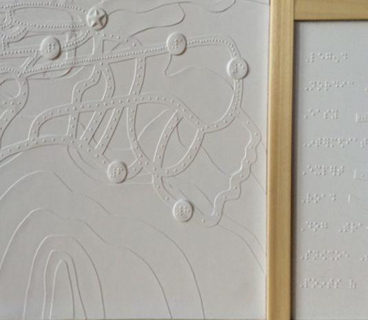
The starting place for all activities, the Nordic Center, was indicated by a big star, and the points of interest had a round indicator identified by Braille letters. The key to the trail names and points of interest and trail identifiers are on both sides of the map so that two people can look at the map together and easily access the information.
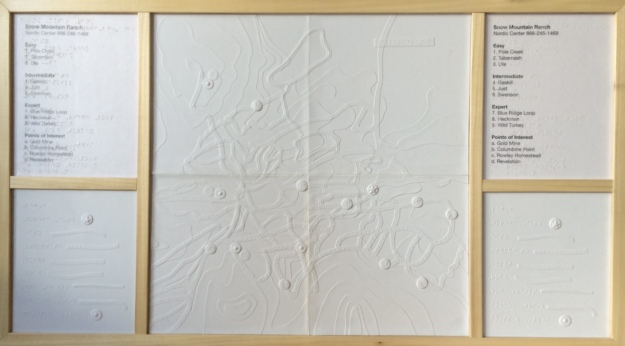
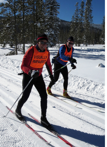
Christine McGroarty, from Ski for Light, wrote: “The tactile map is wonderful. It was unbelievably interesting and exciting to be able to get a sense of how the grounds are laid out. I have skied at Snow Mountain Ranch for years and had no image of the grounds, but now I do. Over the course of the weekend, I and several of our other blind participants spent considerable time exploring the map. Our deaf-blind skier was particularly excited to be able to get a mental picture of how the grounds are laid out.”
We would very much like to recognize the Englewood Lions Club for sponsoring the map.
